The Applied Remote Sensing Training (ARSET) program builds the skills to acquire and use NASA satellite and model data for decision support. Recently ARSET has opened registration for two new free webinars to support countries and communities in achieving the SDGs:
New Sensor Highlight: ECOSTRESS
20 November 2019
12:00 – 13:00 EST (UTC-5)
This training is designed to support high demand and interest from the applications community in new NASA Earth-observing technologies that can be used to support resources management. This webinar will focus on a NASA instrument that was launched and installed on the International Space Station in Summer 2018. Designed to study terrestrial ecosystems and plant water stress from the ISS, ECOSTRESS can also be used to better understand crop health, volcanoes, urban heat, wildland fires, coastal systems, and much more.
The primary science and applications mission of ECOSTRESS is to address three critical questions around vegetation health and agriculture:
- How is the terrestrial biosphere responding to changes in water availability?
- How do changes in diurnal vegetation water stress impact the global carbon cycle?
- Can agricultural vulnerability be reduced through advanced monitoring of agricultural water consumptive use and improved drought estimation?
Learning Objectives:
By the end of this one-hour introduction, attendees will understand:
- What parameters are monitored by ECOSTRESS
- How ECOSTRESS measurements are taken, including the spatial and temporal resolution of the data
- How to access and download ECOSTRESS data via LPDAAC
- Case study examples of the use of ECOSTRESS for land management applications
Relevant UN Sustainable Development Goals:
- SDG 2: End hunger, achieve food security and improved nutrition and promote sustainable agriculture
- SDG 15: Protect, restore and promote sustainable use of terrestrial ecosystems, sustainably manage forests, combat desertification, and halt and reverse land degradation and halt biodiversity loss
More information, including the registration link, can be found here.
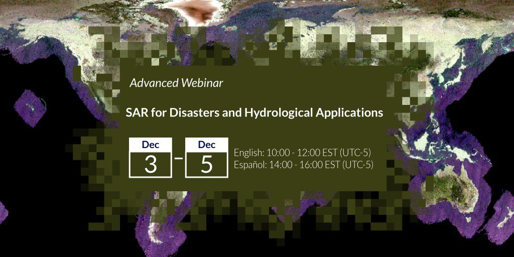
SAR for Disasters and Hydrological Applications

3-5 December 2019
EN: 10:00-12:00 EST and ES: 14:00-16:00 EST
This training builds on the skills taught from previous ARSET SAR pieces of training in terms of the use of Google Earth Engine for flood mapping of radar data. This training presents two new topics; the use of InSAR for characterizing landslides and the generation of a digital elevation model (DEM).
Learning Objectives:
By the end of this training, attendees will be able to:
- Create a flood map using Google Earth Engine
- Generate a map characterising areas where landslides have occurred
- Generate a digital elevation model (DEM)
Relevant UN Sustainable Development Goals:
- Target 13.1: Strengthen resilience and adaptive capacity to climate-related hazards and natural disasters in all countries
- SDG 11: Make cities and human settlements inclusive, safe, resilient and sustainable
The training is available in English and Spanish.
More information, including the registration link, can be found here: EN, ES.


